gavel FAA Part 77
Part 77 Analysis at Scale
Run obstruction checks with deterministic Part 77 surface logic, risk classification, and compliance ready reporting.
 Curv Aero

The authoritative platform for FAA airport data, Part 77 airspace obstruction analysis, and open airport data APIs built for aviation professionals, developers, and flight operations teams worldwide.
The industry has long relied on closed, proprietary pipelines with limited transparency and no modern API access. CurvAero delivers the same authoritative FAA airport data and Part 77 obstacle analysis with an open, API first architecture, FAA data synchronized every AIRAC cycle (NOTAMs as published), and developer friendly tooling.
CurvAero delivers the same authoritative FAA airport data and Part 77 obstacle analysis with an open, API first architecture, FAA data synchronized every AIRAC cycle (NOTAMs as published), and developer friendly tooling.
Platform Highlights
From raw FAA datasets to production ready Part 77 analysis delivered through a single, unified API platform.
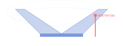
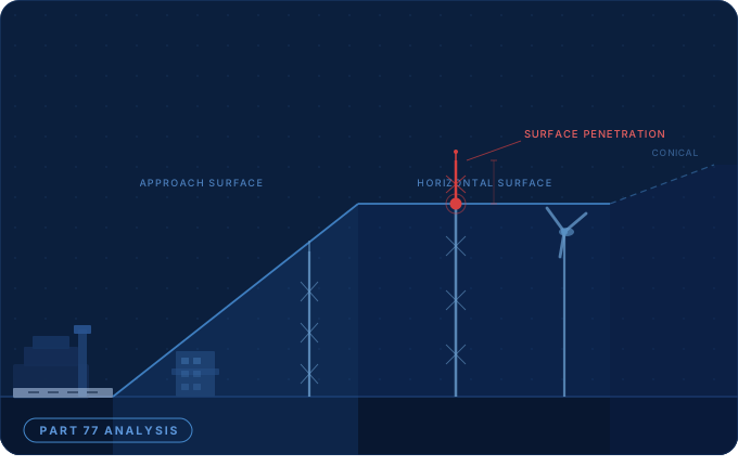
Automated evaluation of structures against all five Part 77 imaginary surfaces horizontal, conical, primary, approach, and transitional. Identify penetrating obstacles with precise coordinates, heights, and clearance margins.
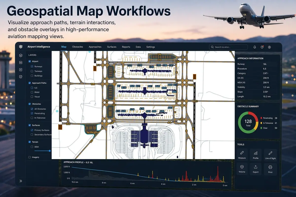
Comprehensive airport records sourced directly from the FAA National Airspace System Resource (NASR) subscription runway geometry, thresholds, declared distances, lighting, displaced thresholds, and APD data updated every 28 day AIRAC cycle.
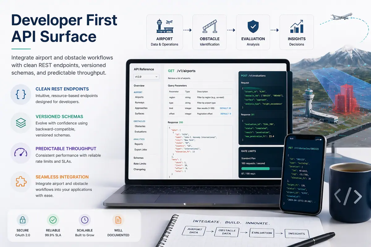
Production-grade REST API delivering structured airport records, runway data, obstacle datasets, and Part 77 surface geometries. Fine grained filtering by ICAO, IATA, state, elevation range, and runway configuration with GeoJSON output for map integration.
Each airport analysis computes the five imaginary surfaces defined under 14 CFR Part 77. Structures exceeding surface elevations trigger automatic FAA notification requirements and are flagged with precise penetration depth.
Run Part 77 obstruction evaluations for new construction projects near airport airspace with accurate FAA surface geometries.
Part 77 Tool arrow_outwardAccess runway dimensions, displaced thresholds, lighting systems, and declared distances for operational planning and briefings.
Airport Data arrow_outwardIntegrate airport records, obstacle data, and Part 77 surfaces into your app via a clean JSON REST API with GeoJSON map output.
API Docs arrow_outwardGenerate official 7460-1 obstruction evaluation reports and maintain compliance records for FAA notification requirements.
Compliance Reports arrow_outwardJoin aviation planners, flight operations teams, and developers using CurvAero's FAA sourced data platform for Part 77 analysis and airport intelligence.